Engineers everywhere love finding ways to simplify and streamline their data collection process.
Data collection and land surveys take time, which can negatively impact your ability to meet deadlines and provide clients with valuable information.
However, if you utilize drones for land surveys, you can get extensive reports with everything you need for your work.
Drones, or unmanned aerial vehicles (UAVs), fly over plots of land and can scan the area to create rich images, in-depth maps and more. A trained drone operator knows how to fly drones effectively, which ensures they can get necessary information without putting expensive technology in any danger.
Many engineers find drones incredibly beneficial. And if you work with a trained drone operator, like those at Spartan Scanning Solutions, you can get all the information you need without having to learn the ins and outs of flying a drone. If you’re an MEP engineer, here are a few other ways drones can help you work smarter, not harder.
Accurate and dependable readings
Collecting survey information on foot takes time, and it isn’t always easy to access every spot you need to measure. This kind of unintentional oversight often results in trial and error and may cause issues with your reporting. You may find yourself returning to the assigned land time and again to redo surveys. Drones offer quick and accurate readings, especially in areas that are difficult to reach.

In-depth imagery
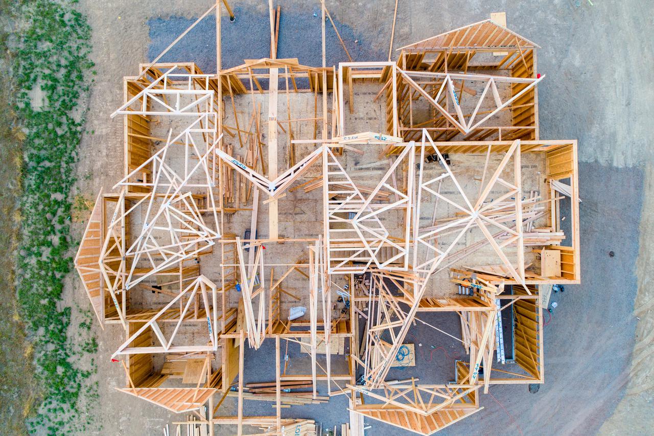
Aerial surveys offer rich, detailed imagery of the landscape. They help MEP engineers get an in-depth view of each, so there’s no guesswork or missing information in your planning. This full-scope imagery is also helpful for your clients since they have a clear idea of how the land will adjust and change throughout construction.
Expedited topographic surveys
Topographic surveys take time, especially when you complete them on foot. And it can be difficult to get GPS points set correctly, especially in areas you can’t reach. Manually setting up each GPS point is tedious, time-consuming and may result in errors. Drone surveys give you plenty of information and quickly, so you can have your topographic survey ready in no time.
Cost-effective
Although drones can be expensive, they have a substantial return on investment. In the long run, you’re likely to save precious time and money by using a drone instead of surveying land on your own or hiring others to do the labor for you. However, it’s best to use a professional drone operator. They will be able to survey your land quickly and effectively, so you don’t have to learn how to use a drone to reap its many benefits.
Here at Spartan Scanning Solutions, we pride ourselves on providing engineers with plenty of options to make their lives easier. Whether you need laser scanning, drone services, floor drawings or something else, we strive to support our clients with the very best.
Curious to learn more about drone surveying for your upcoming project? Contact us today! We can’t wait to learn more about your commercial, residential and industrial work.


